Download Speed Camera & Danger Zone Files for OsmAnd: Lufop GPX & OSM
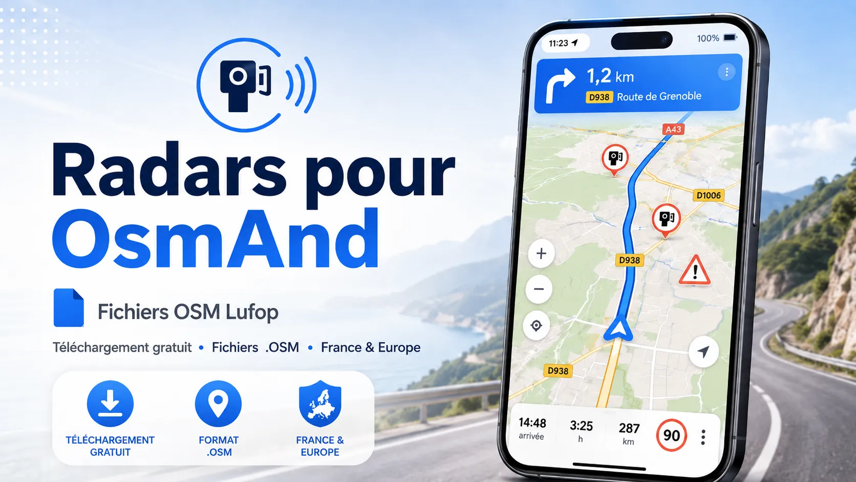
Lufop Speed Camera and Danger Zone Database for OsmAnd
Do you use OsmAnd for your car trips, motorcycle rides, or international travels? You can now enhance the information available in the app with a speed camera and danger zone database from the Lufop community.
OsmAnd is a mapping and navigation application primarily based on free data from OpenStreetMap. It is particularly valued for its offline functionality, extensive settings, and ability to import files in GPX or OSM format.
The database offered on this page allows you to add various useful driving points to your OsmAnd map:
- fixed speed cameras and permanent control devices;
- red light cameras;
- average speed check zones;
- mobile speed cameras and known temporary control zones;
- railway crossings and other areas requiring special vigilance;
- speed information and descriptions, when available in the Lufop database.
The files are generated from the Lufop community database, regularly corrected and enriched thanks to user reports.
Important: Points imported from a GPX file are displayed in OsmAnd as personal points or points associated with a GPX or OSM file. Their functionality is therefore different from speed camera alerts directly integrated into OsmAnd maps. Depending on your configuration and navigation mode, they can be displayed on the map and announced as points along your route.
Downloading Files for OsmAnd
Europe and Multi-Country Database – One OSM File Per Country
This archive contains the various Lufop databases organized by country. Each country has its own GPX file, allowing you to import only the geographical areas you need.

Radar pour format OsmAnd (tous pays)
Fichier pour GPS OSMAnd
Soutenez le site dès 3€ et accédez immédiatement aux dernières mises à jour.
This version is recommended if you:
- travel regularly in Europe or internationally;
- wish to limit the number of points displayed simultaneously in OsmAnd;
- prefer to activate or deactivate each country separately;
- want to organize your files and trips more easily.
How to Install the Lufop Database in OsmAnd?
Direct Installation from an Android Smartphone
- Download the desired OSM file or ZIP archive from this page.
- If you have downloaded a ZIP archive, open it with your phone’s file manager and extract the GPX files.
- Select the OSM file you wish to import.
- Tap Open with or Share.
- Choose the OsmAnd application.
- OsmAnd will then prompt you to import the file into the application.
- Confirm the import and, if the option appears, select the folder in which to save the file.
- Then open Menu > My Places > Tracks.
- Find the imported Lufop file and enable its display on the map.
Depending on the Android version, menu titles may vary slightly.
Installation from the OsmAnd Menu
You can also manually import files from within the application:
- Download and decompress the Lufop archive on your smartphone.
- Open OsmAnd.
- Go to the Main Menu.
- Open My Places, then the Tracks tab.
- Tap the import button or the three-dot menu.
- Select Import.
- Browse your phone’s files and choose the Lufop GPX file.
- Once the file is imported, activate the option to display it on the map.
Installation on iPhone or iPad
- Download the GPX file from Safari.
- If the download contains a ZIP archive, open it from the Files app to decompress it.
- Tap the GPX file to import.
- Use the Share button.
- Select OsmAnd from the list of applications.
- Confirm the file import.
- In OsmAnd, then open Menu > My Places > Tracks.
- Select the Lufop file and enable its display on the map.
Displaying Lufop Points on the OsmAnd Map
After import, the GPX file can be found in the section dedicated to tracks and personal files.
To display the points:
- Open Menu > My Places > Tracks.
- Select the Lufop file corresponding to the desired country or category.
- Activate the Show on map option.
- Return to the main map.
- Zoom in on the desired area to verify the presence of the imported points.
You can modify the appearance of certain files or points from the GPX file settings: color, icon, visibility, or classification folder. The exact possibilities may differ between Android, iOS, and different versions of OsmAnd.
Avoid Overloading the Map
A complete database can contain a large number of points. To keep the map legible and limit the load on less powerful smartphones, we recommend:
- importing only the necessary countries;
- prioritizing files separated by country;
- hiding unused files;
- avoiding displaying all European databases simultaneously;
- deleting old versions before each new import.
How to Get Announcements When Approaching Points?
OsmAnd can announce certain points along a route when navigation is active and the corresponding voice guidance options are configured.
To check your configuration:
- Open the navigation profile used, for example Driving.
- Go to Navigation settings.
- Open the section dedicated to voice instructions or announcements.
- Verify that voice guidance is enabled.
- Activate, when offered, announcements related to points of interest or points along the route.
- Start navigation with a destination so that announcements can be triggered.
Warning: Importing a Lufop GPX file does not automatically replace OsmAnd’s internal speed camera database. The display and announcement of GPX points depend on the active profile, file type, initiated navigation, and application version.
To also benefit from OsmAnd’s integrated alerts:
- open the navigation profile settings;
- go to navigation settings;
- open the settings for on-screen alerts or voice instructions;
- activate the option related to speed cameras, when available in your country and application version.
OsmAnd’s integrated alerts and points imported from Lufop are two distinct sources. Duplicates may therefore appear when the same location is already present in OpenStreetMap.
Updating the Lufop Database in OsmAnd
GPX files manually imported into OsmAnd are not necessarily updated automatically.
When a new version is published on Lufop:
- open Menu > My Places > Tracks;
- locate the old Lufop database;
- hide or delete it to avoid duplicates;
- download the new version from this page;
- import the new GPX file;
- activate its display on the map.
We advise you to regularly check the date indicated in the file name or its description to ensure you are using the most recent version.
Downloading and Installing OsmAnd
If you haven’t installed OsmAnd yet, the application is available on Android and iOS.
OsmAnd notably allows you to:
- download maps for offline use;
- calculate routes for car, motorcycle, bicycle, or hiking;
- import GPX files;
- display personal points on the map;
- customize profiles and navigation information;
- use collaborative mapping data from OpenStreetMap.
You can download the application from its official website:
Before your first trip, remember to download the map of the relevant country or region from the Maps & Resources menu. This way, you can continue to use navigation even without a mobile connection.
Usage Tips
- Prepare and configure the application before hitting the road.
- Use a suitable holder and do not handle the phone while driving.
- Download maps of the countries you will be traveling through in advance.
- Keep only useful files to avoid overloading the map.
- Delete old databases before each update to avoid duplicates.
- Ensure that media volume and voice guidance are correctly set.
- Control locations may change: always respect road signs and speed limits displayed on the road.
- To report an error, a relocation, or a new zone, use the Lufop community tool.
To add or correct a location:
Report a Danger Zone on the Lufop Map


 France
 Belgique
 Italie
 Allemagne
 Suisse
 Espagne
 Suede
Suede Portugal
 Pays-Bas
 Luxembourg
 Grande-Bretagne
 Pologne
 Andorre
 Irlande
 Lettonie
 Republique Tcheque
 Bulgarie
 Canada
 Australie
 Nouvelle-Zelande
 Norvege
 Emirats Arabes Unis
 Maroc
Maroc Finlande
 Bresil